Trail Map
DCR's official map, explained trail by trail.
The official Purgatory Chasm trail map is a one-page PDF from the Massachusetts Department of Conservation and Recreation, dated 2019, showing six numbered trails with their lengths and blaze colors. Download the DCR trail map before you go, or save it to your phone. For the hike through the chasm itself, DCR's self-guided hike sheet is the better companion, because it gives the distance between each rock formation.
The Map at a Glance
The Trail Key
The map's Trail Lengths box lists every trail with its number, length and blaze color.
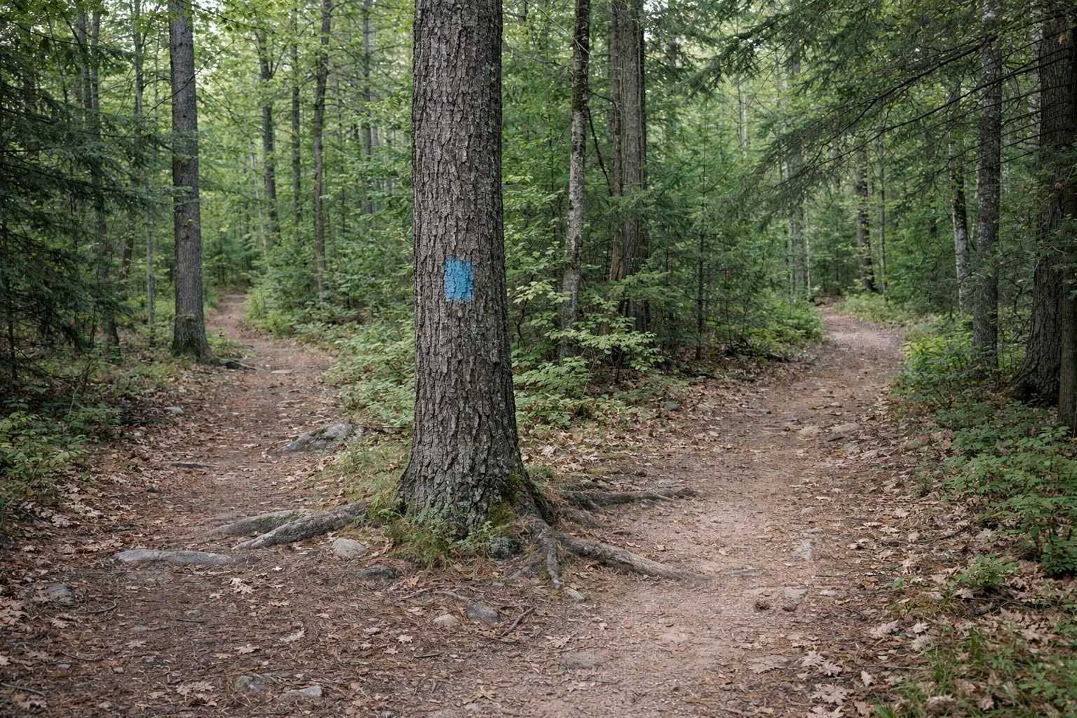
- Chasm Loop Trail: 0.5 mile, blue blazes
- Charley's Loop: 1 mile, yellow blazes
- Old Purgatory Trail: 0.75 mile, orange blazes
- Forest Road Trail: 0.5 mile, orange blazes
- Spring Path: 0.25 mile, white blazes
- Little Purgatory: 0.25 mile, green blazes
What each trail is like, and which to combine, is on the trails page. The chasm route has its own guide: Chasm Loop Trail.
How the Map Is Laid Out
Purgatory Road cuts diagonally across the map. The chasm, labeled with its formations, sits west of the road, with the Chasm Entrance right beside it. Charley's Loop runs through the woods on both sides of the chasm. East of the road are the visitors center, restrooms, playground, playing field and the Old Spring House, circled by the Spring Path. The Old Purgatory Trail loops through the woods to the north, and past the far end of the chasm a trail junction leads to Little Purgatory, Purgatory Brook and the Forest Road Trail.
Formations Marked on the Map
- Lover's Leap and the Devil's Pulpit, along the chasm near the entrance
- The Devil's Coffin, at the far end of the chasm
- Fat Man's Misery and the Devil's Corncrib, on the loop back after the trail leaves the chasm
DCR's self-guided hike adds His Majesty's Cave and the Glacier Chair, which the map doesn't label. All seven are described on the rock formations page.
Map Symbols
The legend separates a forest road, a woods road used for hiking, and a narrower trail. It also marks scenic vistas, closed gates, rock ledges, wetlands and the Healthy Heart Trail, along with picnic tables, pavilions, drinking water, restrooms, a telephone and parking. The note on gates is worth knowing: they are there to keep motor vehicles out, and all other trail users are welcome to walk past them.
The Rules Printed on the Map
- Chasm rocks and slopes are slippery: wear rubber-soled shoes or hiking boots.
- Stay away from the edges of the chasm.
- Keep dogs on a leash.
- Do not pick flowers or other vegetation.
- Please no alcoholic beverages, open fires, or mountain bikes, bicycles, scooters and skateboards.
- Park hours: sunrise to sunset, daily, open year-round.
More detail, including DCR's winter closure of the Chasm Trail, is on the rules page and the hours page.
Phone Numbers on the Map
The map lists the park office at (508) 234-3733 and the local police department at (508) 865-4449, with 911 for emergencies. Save both before you start.
Trail Map FAQ
Where can I get a Purgatory Chasm trail map?
DCR publishes the official trail map as a free PDF on its Purgatory Chasm State Reservation page at mass.gov. It is dated 2019 and shows all six trails with lengths and blaze colors.
What color is the Purgatory Chasm trail?
The Chasm Loop Trail is blue. DCR's tour sheet says blue blazes mark the path through the chasm and back.
Is there a map for the rock formations?
DCR's trail map labels Lover's Leap, the Devil's Pulpit, the Devil's Coffin, Fat Man's Misery and the Devil's Corncrib. Its self-guided hike sheet gives the distance between all seven stops.